
Green and desert boundary
The sharp environmental transition helps explain why cemeteries and memorial monuments developed where they did.
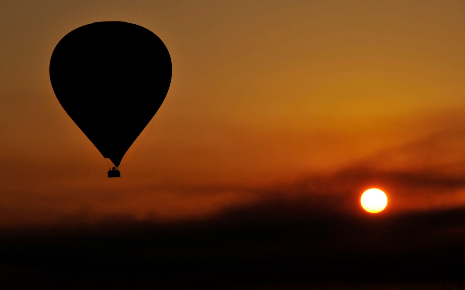
See ancient Thebes and the Nile landscape at sunrise from above.
Luxor from the Sky is a sunrise perspective on the Theban landscape rather than a substitute for exploring it on the ground. From above, cultivated land, desert edge, river and monuments can be understood as one geography—when weather, aviation operations and supplier conditions allow the flight to operate.
The value is visual context. A balloon flight can reveal the relationship between the Nile, settlement, desert and western mountains in a way that complements an Egyptologist-led day below.
Interpretation stays close to archaeology, text, landscape and what the evidence can actually support.
A balloon flight changes the scale at which Thebes can be understood. From above, the contrast between cultivated Nile floodplain and western desert becomes immediate, while the Theban mountains, modern villages and archaeological zones can be seen within one landscape. The value is interpretive as well as visual: monuments that feel disconnected by roads at ground level become parts of the same topography. The flight itself remains dependent on aviation authority permission and safe weather conditions, so the experience must always be treated as conditional rather than guaranteed.
The sharp environmental transition helps explain why cemeteries and memorial monuments developed where they did.
From the air, the mountain and desert valleys become easier to understand as a connected western landscape.
Notice how contemporary villages and fields surround monuments, reminding us that Luxor is a living place rather than an isolated archaeological park.
Use the Nile as the main geographical reference; it makes the relationship between east and west banks immediately legible.
A few defining moments reveal the character of the experience before you explore the full experience.
Experience the Theban landscape from above when safe operating conditions permit.
Use changing morning light to reveal the contrast between cultivated valley and desert.
See the western cliffs as the physical backdrop to the royal funerary landscape.
Understand river, fields, villages and desert edge as one connected geography.
These are the places and themes that define the experience. Your confirmed programme arranges them in the best order for your date, pace and current access.
Experience the Theban landscape from above when safe operating conditions permit.
Use changing morning light to reveal the contrast between cultivated valley and desert.
See the western cliffs as the physical backdrop to the royal funerary landscape.
Understand river, fields, villages and desert edge as one connected geography.
The flight gives the spatial framework that can make later ground visits easier to understand.
Ancient sacred geography, agriculture and modern settlement occupy the same narrow corridor between river and desert.
The flight itself is not an archaeological tour, but the landscape seen from above can make the physical logic of Thebes immediately visible. Pairing it with guided ground visits turns the aerial view into meaningful context.
Your Egyptologist can spend more time where your curiosity is strongest and move more lightly through what matters less, while keeping the day coherent and well paced.
Tell us how you like to travel →Ask us whether this addition fits your date, pace and route.
Ask us whether this addition fits your date, pace and route.
Ask us whether this addition fits your date, pace and route.
Ask us whether this addition fits your date, pace and route.
When an approved public rate is available, the calculator shows the relevant private-party basis. Otherwise, we prepare a personal quotation after checking the date, party and operating arrangements.
Aerial photography benefits from a fast shutter and minimal equipment. Wide landscape images usually communicate more than extreme zoom. Balloon baskets can be crowded and space limited, so avoid large bags. Conditions, route and altitude are controlled by the operator and authorities, not by the sightseeing programme.
This experience is unsuitable when aviation authorities suspend flying or weather is unsafe. It also does not replace a ground visit: from above you gain geography, not detailed archaeological interpretation of individual monuments.
Ballooning is weather- and operations-dependent and can be cancelled or adjusted for safety. Pickup, launch site, flight duration, supplier and return arrangements are confirmed for the specific date; no permanent flight conditions are promised online.
Couples, photographers, families with suitable age requirements and travellers who value landscape and sunrise experiences.
No. Balloon operations depend on weather, aviation and supplier safety decisions. If a flight cannot operate, the applicable supplier terms and practical alternatives are explained for your booking.
The defining places and historical focus are established, while the operating order is confirmed around current access, opening conditions, local logistics and your pace. Your final programme states the sequence clearly before travel.
No. Operations depend on weather and aviation-authority permission. Safety decisions can cancel a flight even at short notice.
No route should be promised. Wind, airspace rules and operational decisions determine the actual flight path.
No. It is a landscape experience. It helps you understand geography, but detailed archaeology requires visiting the monuments on the ground.
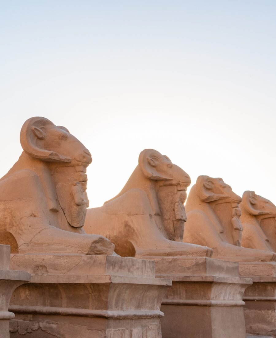
Walk through the ceremonial heart of ancient Egypt.
Request current rateExplore →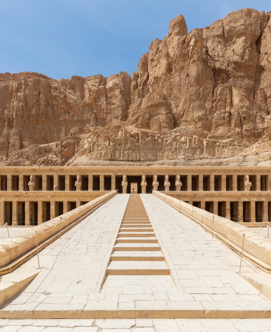
Enter the royal and funerary landscape of ancient Egypt.
Request current rateExplore →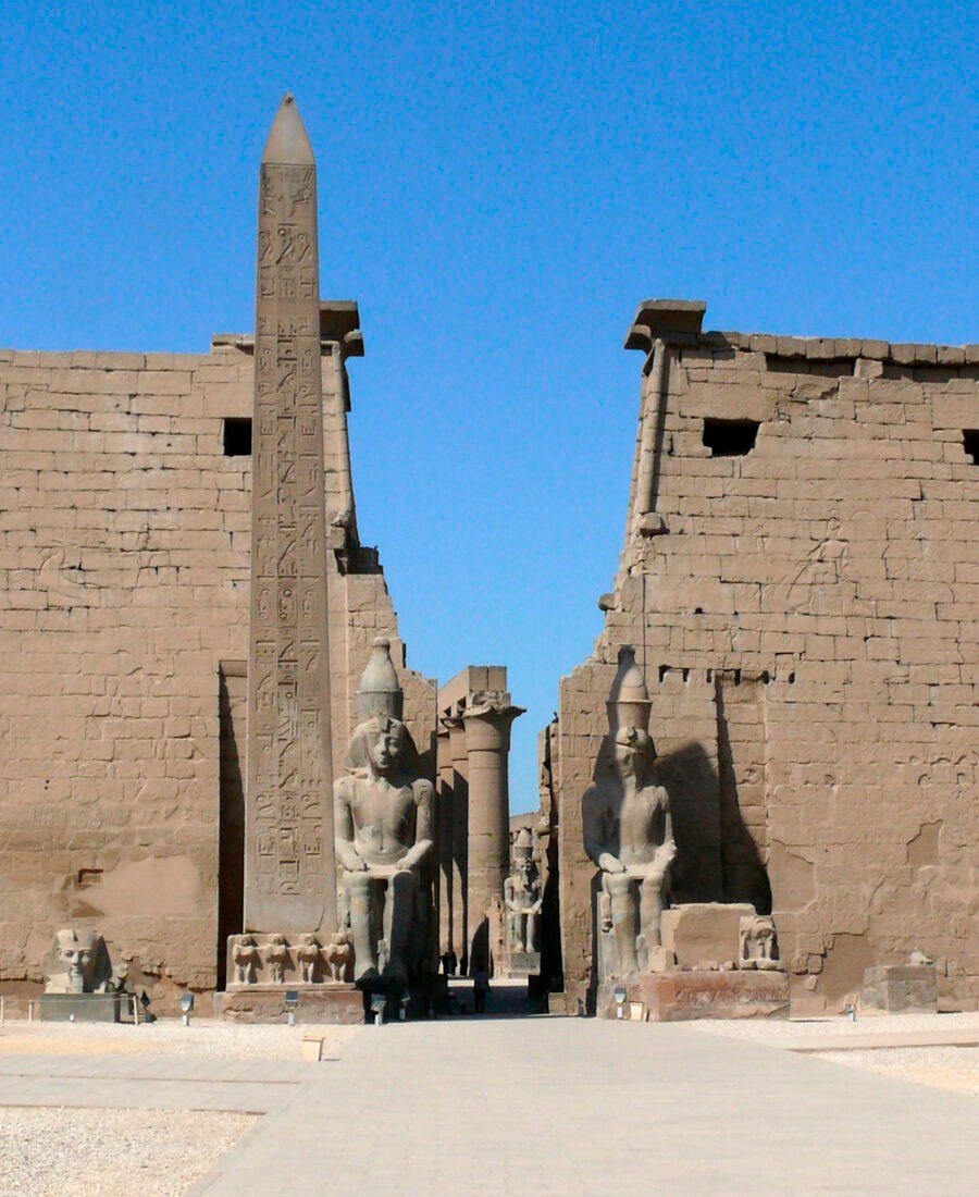
Explore the monumental and ritual heart of ancient Thebes on the East Bank.
Request current rateExplore →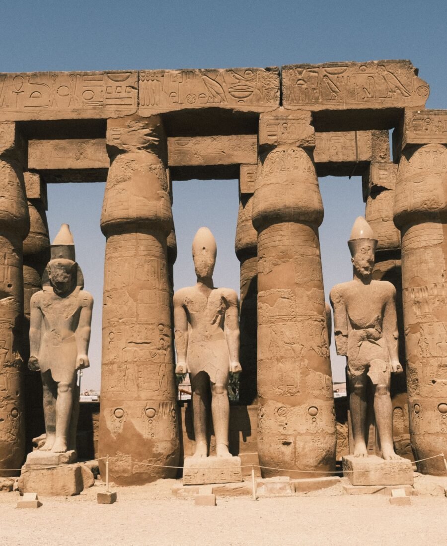
Experience Thebes beyond the highlights, with time to connect its royal, sacred and human landscapes.
Request current rateExplore →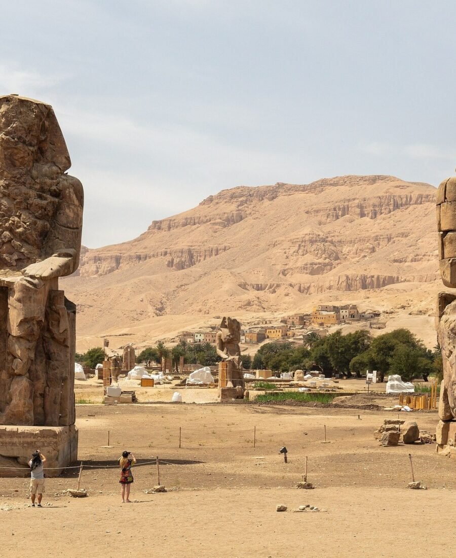
Step beyond the best-known monuments into the quieter archaeological landscape of western Thebes.
Request current rateExplore →